GIS for Energy Access Projects
Master the use of GIS tools to map energy demand, plan electrification projects, and support data-driven decisions for energy access initiatives.
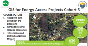
₦30,000.00
& Free ShippingCourse Objectives:
This course enables learners to plan and implement energy access projects using spatial data. You will learn how to map demand, assess infrastructure, and support electrification planning for rural and urban communities.
Our Training Methodology:
Training is hands-on, using GIS software, real geospatial datasets, and practical mapping exercises. Learners work through project-based assignments that reflect real energy access challenges.
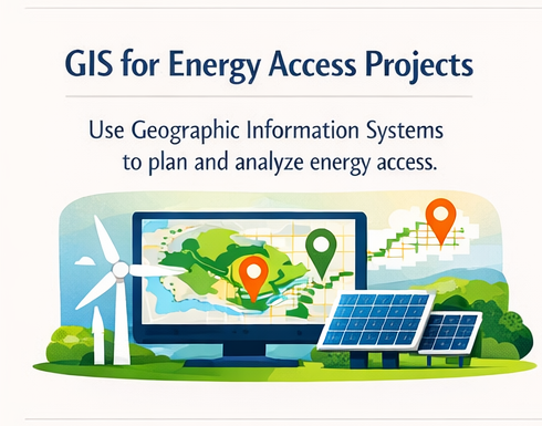
GIS for Energy Access Projects
Master the use of GIS tools to map energy demand, plan electrification projects, and support data-driven decisions for energy access initiatives.
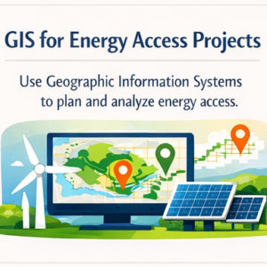 GIS for Energy Access Projects

Reviews
There are no reviews yet.